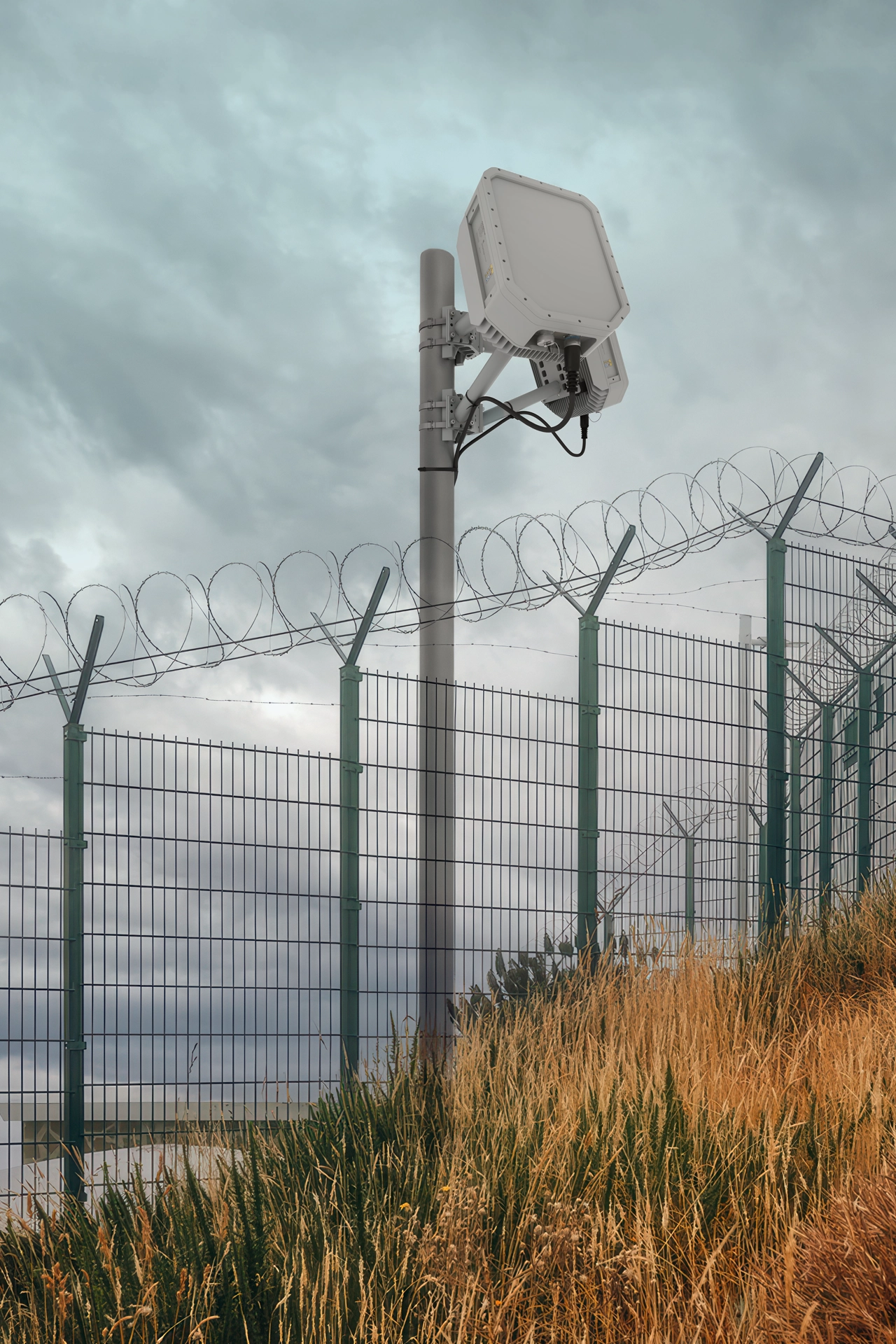
Radar as the Foundation of Public Event Airspace Security

The mission and the funding opportunity

Public gatherings need an airspace security system that detects approaching drones, maintains their tracks, supports identification, and gives public safety teams time to act. Radar must be the base layer of that system, feeding reliable location and movement data to radio frequency (RF) sensors, cameras, and a shared command platform. The 2026 FIFA World Cup provides a practical example of this architecture and a basis for local agencies preparing FEMA Phase 2 C-UAS funding requests through their State Administrative Agency (SAA).

The FY2027Phase 2 of FEMA’s Counter-UAS Grant Program makes $250 million available nationwide in 2027. The federal application deadline is November 16, 2026, at 5 p.m. Eastern; agencies should confirm timing with their SAA. DHS explicitly encourages radar procurement with a mission-appropriate use case and basic siting, coverage, and integration concept. A strong request explains the public safety gap, the capability needed to close it, and the complete cost of delivering and sustaining that capability

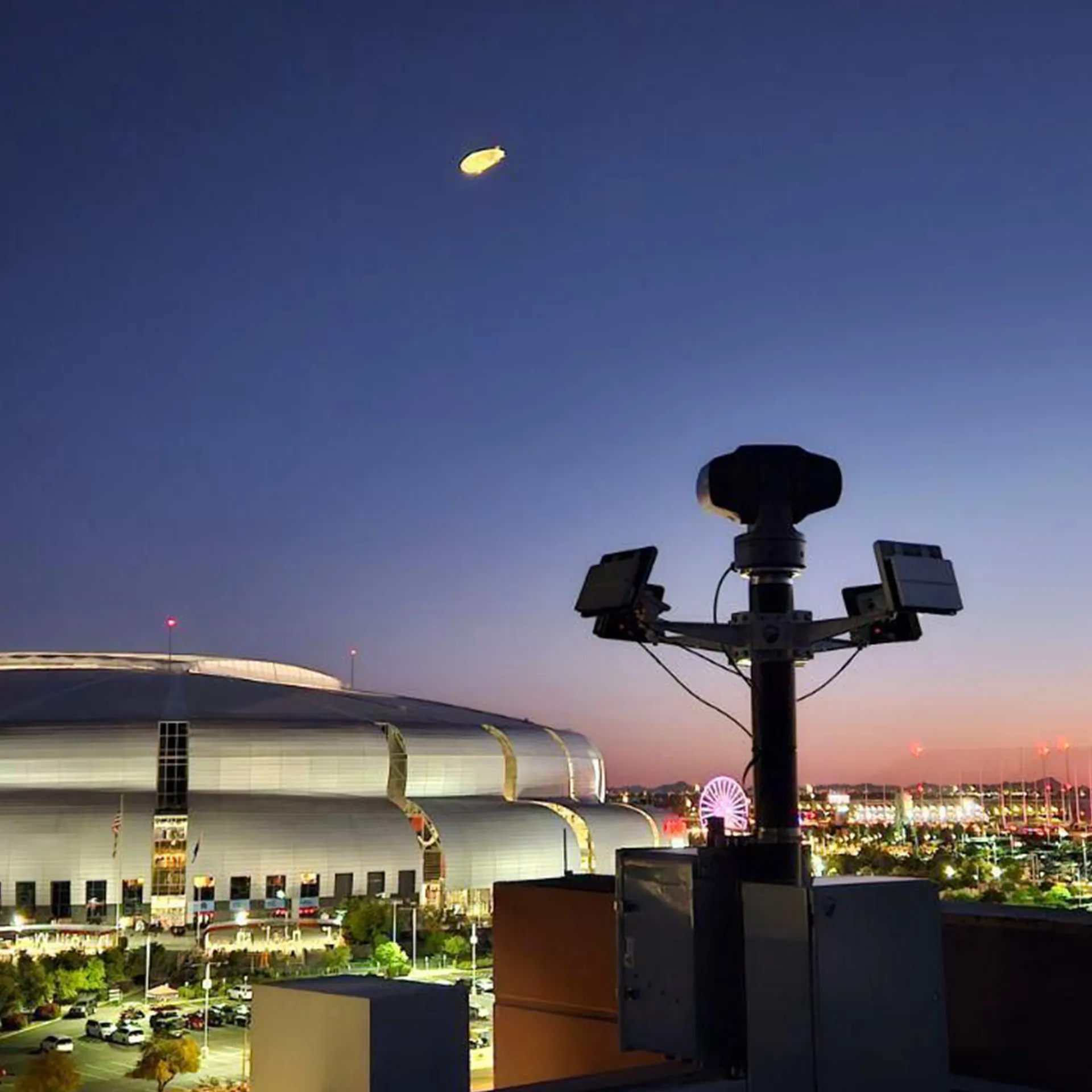
For a stadium, festival, parade, or outdoor celebration, the protected area extends beyond the crowd. Fan zones, entrances, transportation hubs, nearby launch locations, lodging sites, and drone approach paths all matter. Authorized police drones, media aircraft, and other aviation activities may share the surrounding airspace. The operational requirement is to maintain awareness across that environment and distinguish activity requiring assessment from routine operations.

Security camera system overlooking a lit stadium at dusk with a blimp and city lights in background.

Why radar provides the base layer

RF detection contributes valuable information about drone communications and, where supported, the aircraft or controller. Its effectiveness depends on detectable emissions. Autonomous or pre-programmed drones can operate without the control link an RF system expects; Remote ID may be absent. Radar detects physical objects through reflected energy, providing a detection and tracking layer independent of those drone transmissions.

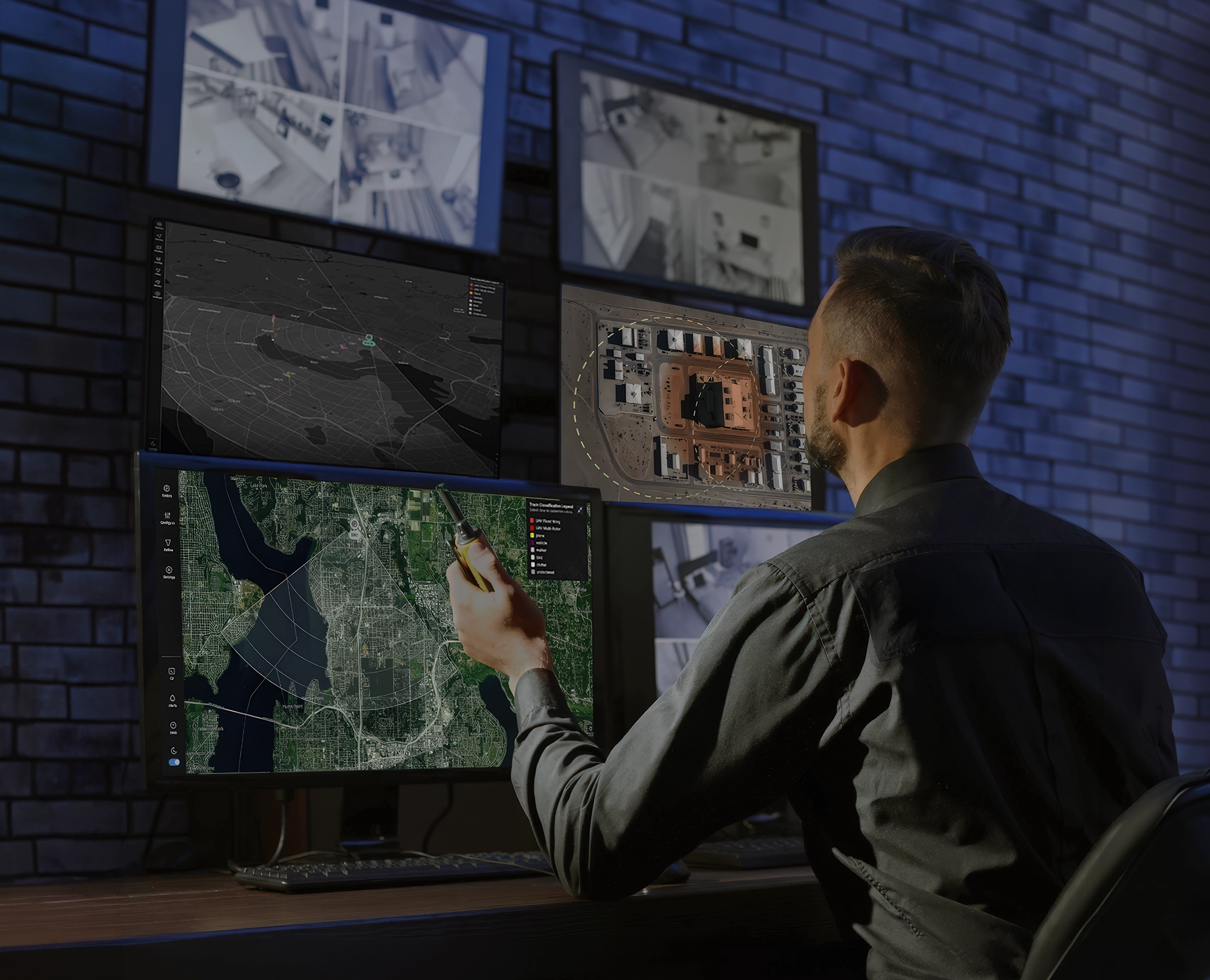
Radar tracks establish where an object is, how it is moving, and whether it is approaching a protected area. A fusion platform can associate those tracks with RF detections, cue electro-optical and infrared cameras, and present operators with a common picture. Radar classification supports assessment; cameras and other information help establish identity and intent. Buildings, terrain, clutter, and target characteristics affect coverage, so site surveys and overlapping views are essential.

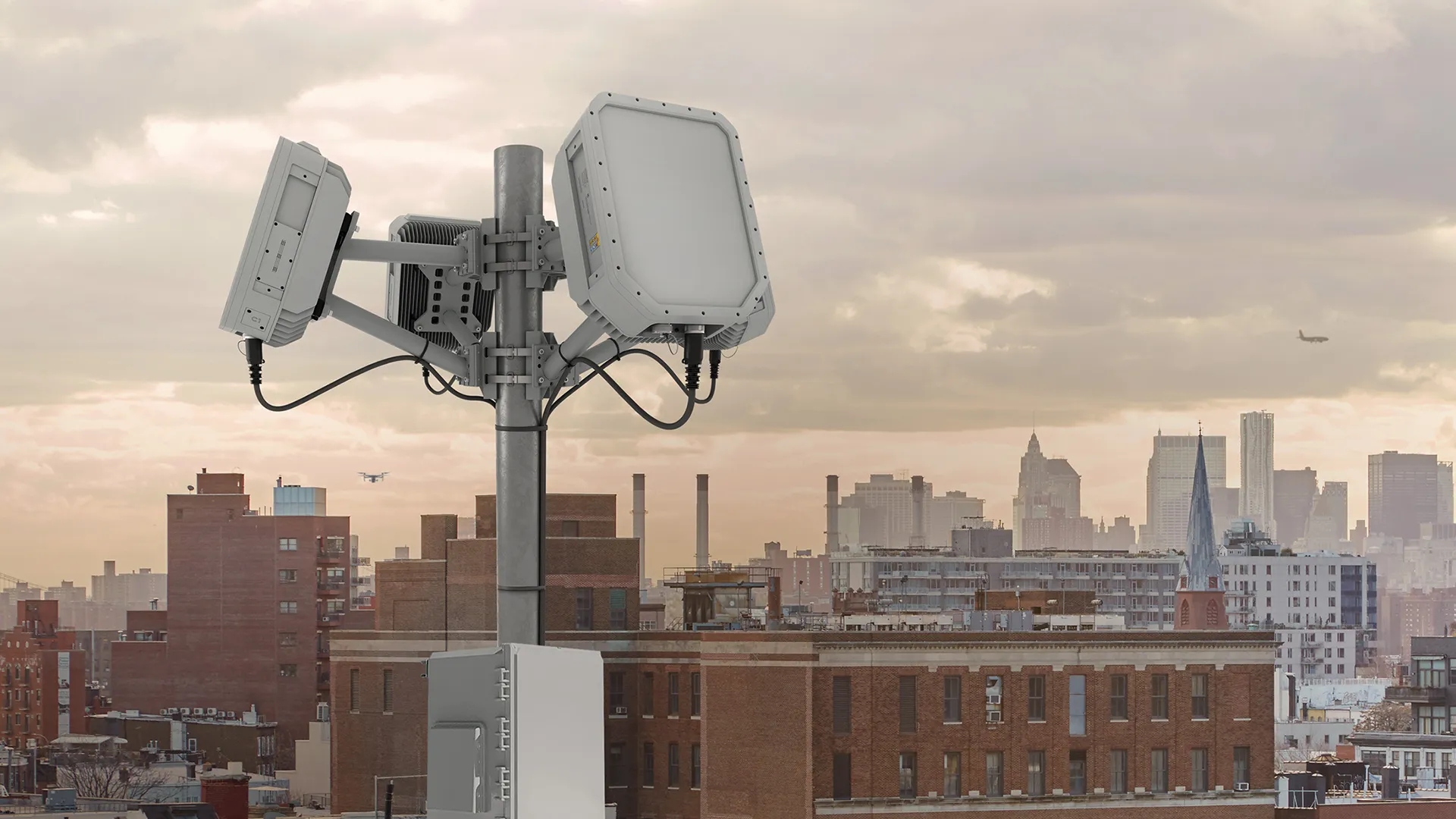
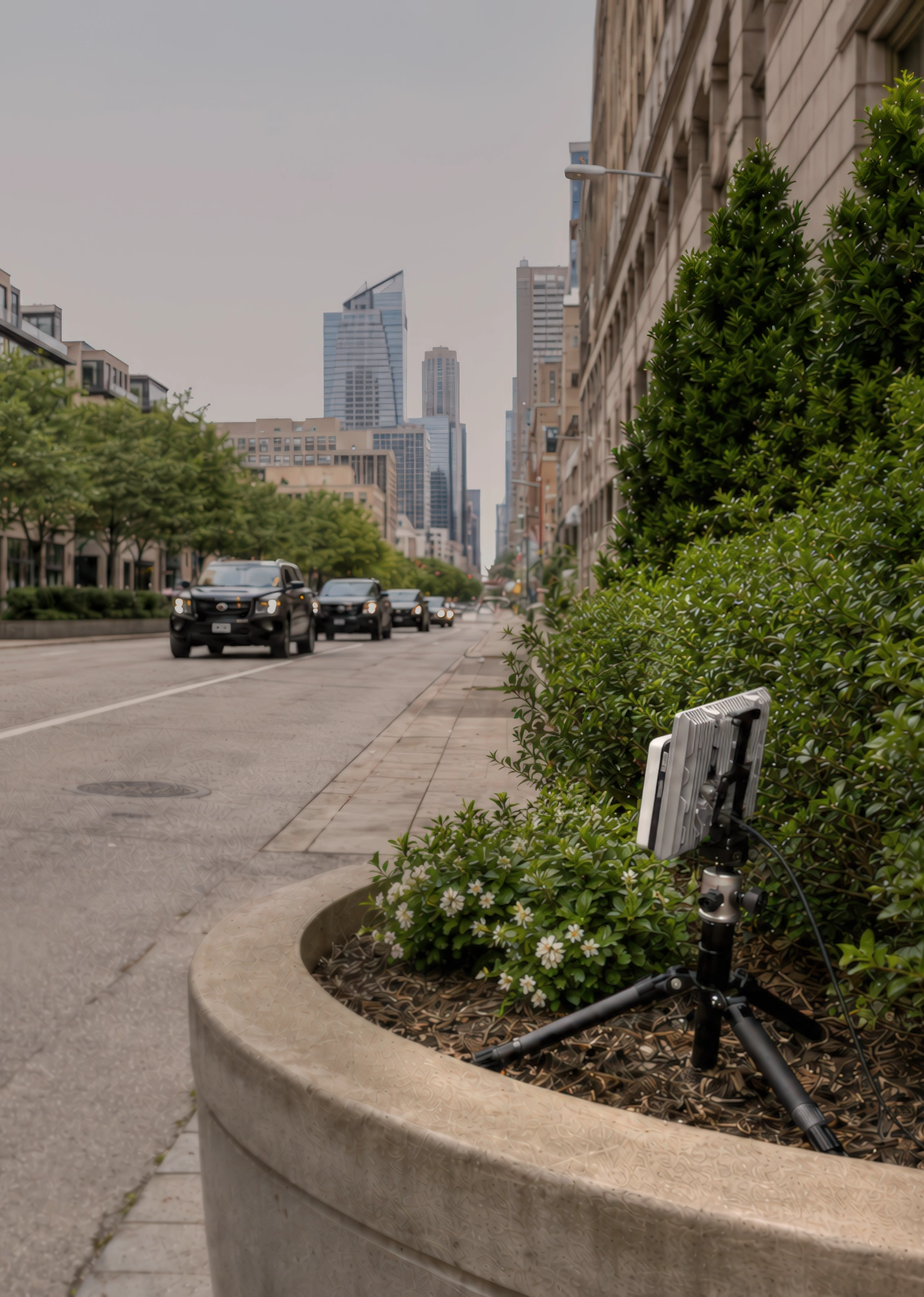
Echodyne’s American-developed MESA® technology brings electronically scanned radar performance into compact systems suitable for distributed deployments. EchoShield® and EchoGuard® allow integrators to match radar selection and placement to the mission. Accurate, frequently updated tracks help other sensors acquire and follow objects, reducing uncertainty across the system. The budget case is therefore broader than buying a detector: it is establishing the data foundation for coordinated assessment and authorized response.

‍

Security camera system overlooking a lit stadium at dusk with a blimp and city lights in background.

World Cup experience and the Kansas City example

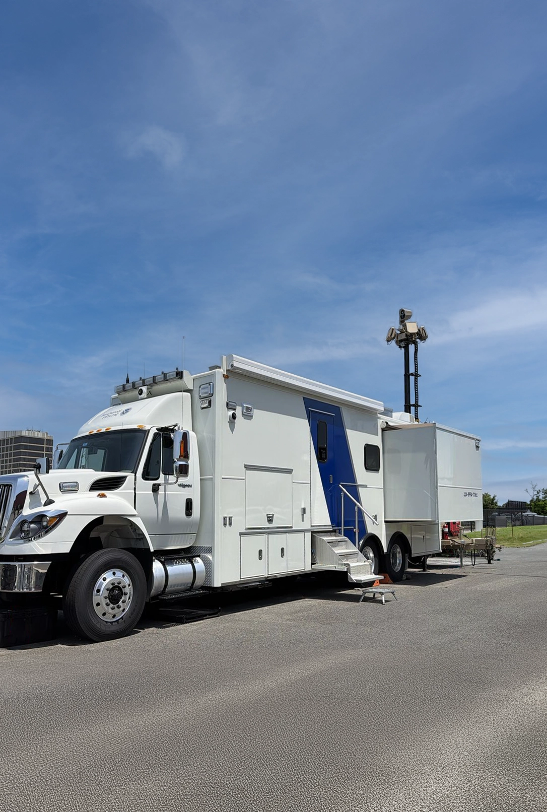
During the 2026 FIFA World Cup, multiple partners used Echodyne radars, with deployments present at all U.S. domestic events. More than 250 radar panels were in use, comprising EchoShield and EchoGuard systems. This deployment experience demonstrates the practical role of compact radar within integrated security systems supporting major public gatherings.

In Kansas City, Unmanned Vehicle Technologies (UVT) delivered the integrated system and worked with the Kansas City Police Department (KCPD) throughout the event. DroneShield supplied the RF system, and Echodyne supplied the radars. UVT’s published account describes an integrated program combining specialized technologies, operational coordination, and continuing support, including Airspace Link’s airspace management capabilities.

KCPD leadership described the outcome: “The partnership with Echodyne and DroneShield and the Kansas City Police Department during FIFA related events resulted in the Kansas City area having zero major air incidents, no mid-air collisions, and one of the lowest numbers of airspace violations amongst American World Cup host cities.”

Leadership also explained the radar contribution: “Success in CUAS is based upon having a layered approach to detection. Our detection system through DroneShield gives us multiple ways to see UAS in the sky. The Echodyne radar panels provide a real-time view of everything in our airspace; drones, low altitude manned aircraft or even birds. It’s vital not only to our CUAS program but airspace awareness for our Drones As First Responder pilots as well. We are thankful for the partnership and look forward to more safe skies over other large-scale events around Kansas City into the future”.

These reported results reflect technology, integration, planning, and police operations working together. They support investment in a layered approach without establishing that any single sensor caused the outcome. The same radar foundation can also support awareness around authorized Drones as First Responder operations after an event.

Turning the use case into a budget request

Begin with a defined event and documented risk: attendance, locations, operating hours, nearby aviation activity, previous drone incidents, and the consequences of an undetected approach. Explain the terrorism-prevention nexus and connect the project to applicable national priorities. Map proposed radar positions, coverage gaps, camera cueing, communications, and operator locations. Use the survey to justify panel quantities and retain flexibility for changing event layouts.

Build the budget from quoted quantities and unit costs. Include radar panels and deployment kits; RF and camera layers; fusion software and licenses; power and networking; integration and acceptance testing; operator training and exercises; and support and sustainment. Identify existing assets and charge only the incremental requirement. Assign ownership, maintenance responsibilities, renewal costs, and post-grant funding. Document American manufacture where applicable.

The request can state: “We request $[amount] to deploy [quantity] radar panels within an integrated C-UAS system protecting [locations and events]. Radar will address non-emitting drone detection gaps, maintain tracks, and cue assessment sensors. The project includes integration, training, exercises, and sustainment, with acceptance based on demonstrated coverage, track continuity, alert delivery, and operator response.”

Describe how the project completes the detection-through-response chain, including existing capabilities and designated partners. Procurement does not authorize mitigation; identify the operating agency and applicable training, accreditation, technology, and coordination requirements. [1] Set measurable targets for coverage, system availability, assessment time, and exercises. This makes the request an accountable investment in enduring public safety capability.

‍

Summary

Building radar into the base layer of airspace security now creates lasting value for public safety and the growth of commercial drone operations. Persistent awareness of both cooperative and non-cooperative aircraft helps agencies assess potential threats, coordinate authorized flights, and protect gatherings while supporting police, emergency response, and other legitimate drone missions. As commercial activity expands, the same sensing foundation can help operators and public authorities understand how delivery, inspection, and other UAS services interact with surrounding air traffic. The World Cup experience illustrates the value of combining radar, complementary sensors, integration, and trained personnel. FEMA Phase 2 funding offers agencies an opportunity to establish that foundation today, protecting communities while preparing for increasingly active low-altitude airspace.

‍

‍

‍

FEMA Phase 2 C-UAS

Making the Case for High-Performance Drone Radar in a FEMA C-UAS Grant Request

Urban rooftop with wireless communication antennas against a cloudy city skyline at dusk.
PREPARING A STRONG FUNDING REQUEST

Work with your State Administrative Agency (SAA)

The planning standard for high-risk missions

Agencies that designate a facility, event, or asset as high risk should treat high-fidelity radar as a baseline requirement for counter-unmanned aircraft system (C-UAS) awareness. A credible risk assessment must account for unmanned aircraft that may be autonomous, pre-programmed, modified to limit emissions, or operating without Remote ID. In those cases, a sensor dependent on a command link, broadcast identification, or other radio-frequency (RF) emission may provide no initial detection. Radar detects and tracks aircraft from their physical presence, giving the agency an independent source of airspace data when a target is not cooperative or not transmitting.

No single sensor resolves every question about an aircraft or its intent. The practical objective is a layered system in which radar supplies persistent, precise tracks and other authorized sensors and processes add identification, classification, and response options. For a high-risk site or event, a proposal that omits radar should explain how it will reliably detect and track non-cooperative UAS within the agency’s stated threat envelope.

‍

Radar gives the DTIM stack a dependable track foundation

Detection, tracking, identification, and mitigation (DTIM) depend on timely and usable data at each step. Radar establishes where an object is, how it is moving, and whether its track is consistent over time. High update rates and angular accuracy help maintain tracks through maneuvering and support confident cueing of electro-optical/infrared (EO/IR) cameras or other sensors. This reduces the time operators spend searching for a target and gives decision-makers a clearer basis for assessing whether activity warrants further action.

RF direction finding, Remote ID receivers, acoustic sensors, and EO/IR cameras add valuable information, but their coverage or detection depends on the target’s emissions, broadcast behavior, sound, line of sight, or environmental conditions. Radar complements these technologies by providing an independent detection and tracking layer. It can cue EO/IR to a known location, help keep a moving object in the sensor’s field of view, and provide track data to authorized decision and mitigation systems. FEMA’s NOFO explains radar’s value for non-cooperative detection and encourages applicants to propose active or passive radar with a mission-appropriate use case and a basic siting, coverage, and integration concept.

Mitigation authorities and approved technologies can change over time. The NOFO conditions mitigation purchases on the applicable Authorized Technology List and, where populated, the Authorized Systems List; it does not limit the grant to one future method. Even where RF-based systems are the only mitigation platforms currently approved for an agency’s operating model, the sensing architecture should be designed to adapt as other options become authorized. As an operational planning judgment, the vast majority of precision mitigation platforms are likely to depend on radar for persistent, high-fidelity tracks that support cueing and threat targeting. Agencies must prepare for tomorrow’s mitigation by protecting track-data integrity today: accurate, time-stamped position and motion data, continuity through maneuvers, and quality measures operators can trust. That data foundation lets an agency add authorized options later without rebuilding its detection layer.

Public announcements also show a growing choice of Echodyne radar for defense mitigation systems. Trust Automation named EchoShield as the primary radar in its SUADS counter-UAS platform for the U.S. Air Force; KONGSBERG selected MESA radar for integration with its PROTECTOR RS4 and RS6 remote weapon stations; and Echodyne and Allen Control Systems announced a collaboration integrating radar with the Bullfrog robotic weapon station. These examples demonstrate how radar can supply persistent detection and high-fidelity tracks to cue sensors and support effectors across different platforms.

One sensing foundation supports DFR, events, and fixed assets

Drone as First Responder (DFR) programs require more than a launch-ready aircraft. Dispatchers and operators need an accurate picture of other activity in the operating area, including aircraft that are not participating in the program. Radar can provide a persistent track picture to support situational awareness, help identify nearby activity, and cue other sensors for closer assessment. Integrated with agency procedures and airspace coordination, that awareness can inform safer and more deliberate DFR operations.

For the 2028 Olympic and Paralympic Games, other major events, and sensitive public facilities, agencies should use risk assessments to determine where continuous coverage is essential and where mobile systems can fill temporary gaps. A fixed installation may protect a priority venue while transportable or vehicle-mounted radars extend coverage to event perimeters, routes, staging areas, and assets on the move. A shared operating picture can connect those sites so trained personnel can understand tracks across jurisdictional boundaries and coordinate response. FEMA’s NOFO prioritizes preparedness for the Games, Torch Relay, and related events while supporting broader state and local detection and response capacity.

‍

Build the grant proposal from risk to operating capability

A strong Investment Justification should connect a documented risk to the coverage, equipment, people, and procedures needed to address it. Agencies can organize the proposal across FEMA’s Planning, Organization, Equipment, Training, and Exercises (POETE) categories.

  • A strong Investment Justification should connect a documented risk to the coverage, equipment, people, and procedures needed to address it. Agencies can organize the proposal across FEMA’s Planning, Organization, Equipment, Training, and Exercises (POETE) categories.
  • Assess current airspace awareness. Inventory existing sensors, coverage, operating procedures, data links, staffing, and response authorities. Identify what the agency can detect and track today, and where it lacks awareness of non-cooperative UAS.
  • Map priority risks and coverage gaps. Identify high-risk facilities, events, routes, and assets; document likely approach paths, terrain and building effects, current blind areas, and the operational consequences of delayed detection.
  • Design around the mission. Specify radar siting, coverage, mobility, integration, data-sharing, and the roles of RF, Remote ID, EO/IR, and other sensors. FEMA lists active radar and passive RF radar among allowable equipment, along with related sensors and supporting deployment and sustainment equipment.
  • Budget for people and readiness. Include operator training, system-level instruction, maintenance, and exercises. NCUTC certification and agency accreditation apply to relevant operations under 6 U.S.C. § 124n; vendor or system training can support equipment use but does not replace required certification. CUTF participation is relevant when the agency plans to operate under federal authority, and is not required for independent operations under § 124n(a)(2).
  • Plan for enduring value. Select systems that can adapt to multiple missions, preserve a path to future integration, and be maintained over the award period. The NOFO asks applicants to state a preference for American-manufactured equipment.

A baseline investment for a changing threat

The cost and accessibility of small uncrewed systems make them practical tools for a wide range of actors, including transnational criminal organizations (TCOs) and non-state actors (NSAs). Agencies should plan for adversaries who understand how to exploit detection gaps and may use autonomous flight, modified aircraft, or limited emissions. In that risk environment, high-fidelity radar is not an optional enhancement. It is the baseline sensor that lets a jurisdiction detect and track activity beyond cooperative broadcasts and RF links.

Radar does not replace trained personnel, legal authorities, or other sensors. It gives the C-UAS and DFR system a persistent source of accurate track data on which those capabilities can act. For agencies seeking FEMA funding, the NOFO’s express radar recommendation provides a direct basis to evaluate current coverage, document high-risk gaps, and justify a system designed around reliable, actionable airspace awareness.

‍

Show how the investment will perform

The Investment Justification should state what successful coverage means for the agency’s missions and how it will be verified. Define the priority areas, representative UAS threats, environmental conditions, track continuity, time to cue EO/IR, and data-sharing needs that matter locally. Set measurable acceptance objectives before procurement, then use testing and exercises to confirm that radar feeds the intended operating picture and response process. The NOFO supports this approach by encouraging a clear siting, coverage, and integration concept and by allowing training and exercises to sustain operational readiness.

Click Here for a Practical Guide for Funding

VIEW PDF